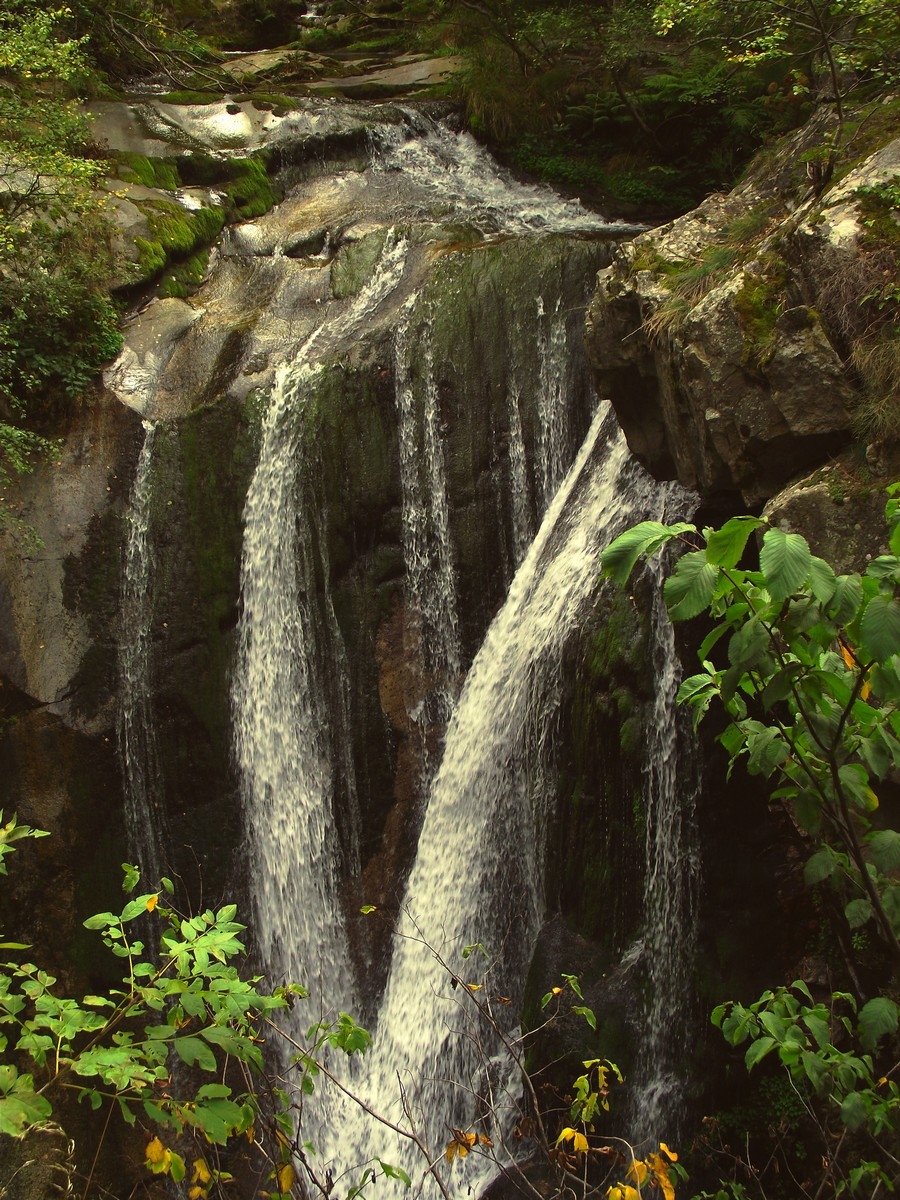
The Gorges du Cady
Itinerary n° 1 on the map
Difficulty level : medium
Length : 1.5 to 2 hours one way, departing from the abbey. Then returning directly to Casteil from the gorges takes 1-1.5 hours
Route : In front of the abbey, take the yellow marked path towards Casteil (pass by the defibrillator). After descending for about 25 minutes, you will come to an intersection near a water treatment station. Turn left and take the path that enters the gorge and follows the course of the Cady river.
After crossing a few footbridges, you will arrive at the viewing platforms for cascades of the Cady.
To return to Casteil, return by the same path. Continue past the water treatment station to the road and turn right, then follow the road to Casteil.
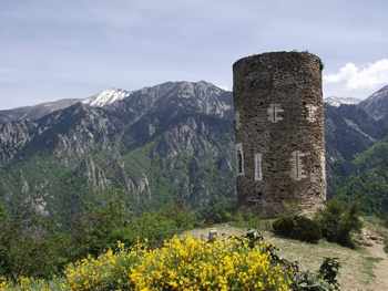 The Tour de Goa and the Crests
Itinerary n° 2 on the map
Difficulty : medium
Length : 2 to 2.5 hours going one way from the abbey
Route : In front of the abbey, take the yellow marked path towards Casteil (pass by the defibrillator). After descending for about 25 minutes, you will come to an intersection near a water treatment station.
Turn towards and pass the water treatment station to the paved road. Turn left on the paved road, and climb about 1.5 km. In a leftward bend in the road, a walking path for pedestrians towards “le Col de Jou” is indicated and parts from the road to the right (attention: this path passes through pastures, and you risk meeting cows).
Arriving at “le Col de Jou”, continue climbing for another half hour to the Tour de Goa on the unpaved path that continues to ascend to the right.
From “le Col de Jou” it is possible to climb to the “Refuge de Mariailles” (the green route on the map; length: 2 hours) and then to the summit of Canigou (3.5-4 hours more).
From the tower of Goa you can take the path that follows the crest of the mountain and descends to Vernet-les-Bains (about 1.5 hours; the descent towards Vernet is steep!).
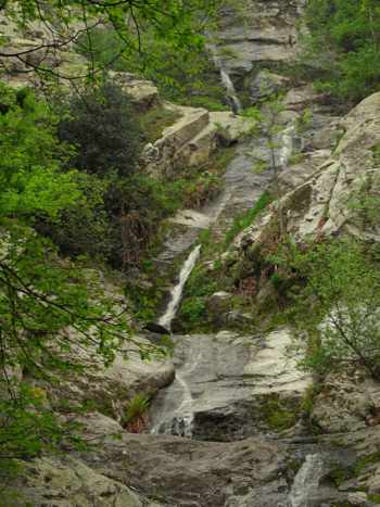 Col de Llavent - Casteil
Itinerary n° 3 on the map
Difficulty : medium ; hiking boots essential; trail map recommended.
Length : 1.5 to 2 hours from the abbey to Casteil
Route : Take the steps in front of the abbey and follow the mountain path upward (marked as “itinéraire no. 9”). After about 30 minutes of climbing, a sign indicates the direction of “Col de Llavent”. Shortly after you will pass a zone that is particularly steep, rugged, and possibly slippery where cables secured to the rocks will aid you. You will cross a ravine (Asmoursadous) and a little later begin to descend. After about 45 minutes you will arrive at “le Col de Llavent”. At the fork in the trail, Casteil is indicated to the left. Before arriving at the village, you can take a detour to the left and see the cascades of Dietrich (you will pass along the back of the “Camping Domaine St. Martin” and then turn left).
Attention : The trail is well marked with yellow signs, except in the section before “le Col de Llavent”.
At "le Col de Llavent" it is possible to take another trail, taking about 1 hour, to Vernet-les-Bains.
Randogps.net
 Cirerola - Moura - Pic du Canigou
Itinerary n° 4 on the map
Difficulty : Difficult
Length : 6.5 to 7 hours one way from the abbey
Route : Take the steps in front of the abbey and follow the mountain path upward (marked as “itinéraire no. 9”). After about 30 minutes of climbing, a sign indicates the direction of “Cirerola” and “Moura”. Arriving at the refuge of Cirerola, cross the stream and begin climbing through the forest until you reach Moura (1.5 hours, steep trail, take care as it is easy to miss the yellow direction signs before Moura as there aren't many of them!).
Next follow the direction indicated on the yellow sign for “Col de Ségalès”. You will need one hour to arrive there. When there, turn right in the direction of “Mariailles” and follow this pleasant trail for ¾ of an hour. At the fork take the direction of the “refuge Arago” to the left. Count another 1.5-2 hours to reach the summit of Canigou.
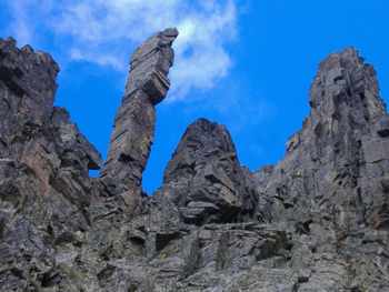
Attention : This path ends with a steep rock scramble.
The information contained on this website is simply a basic guide, positioning and number of signposts and the condition of the routes may change. For up to date details concerning the walks we advise downloading the maps or contacting the Tourist Office in Casteil or Vernet les Bains.
Before starting out on any walk please ensure that you are suitably dressed and equipped and have checked the local weather conditions.
"There is no such thing as bad weather, just inappropriate clothing !"